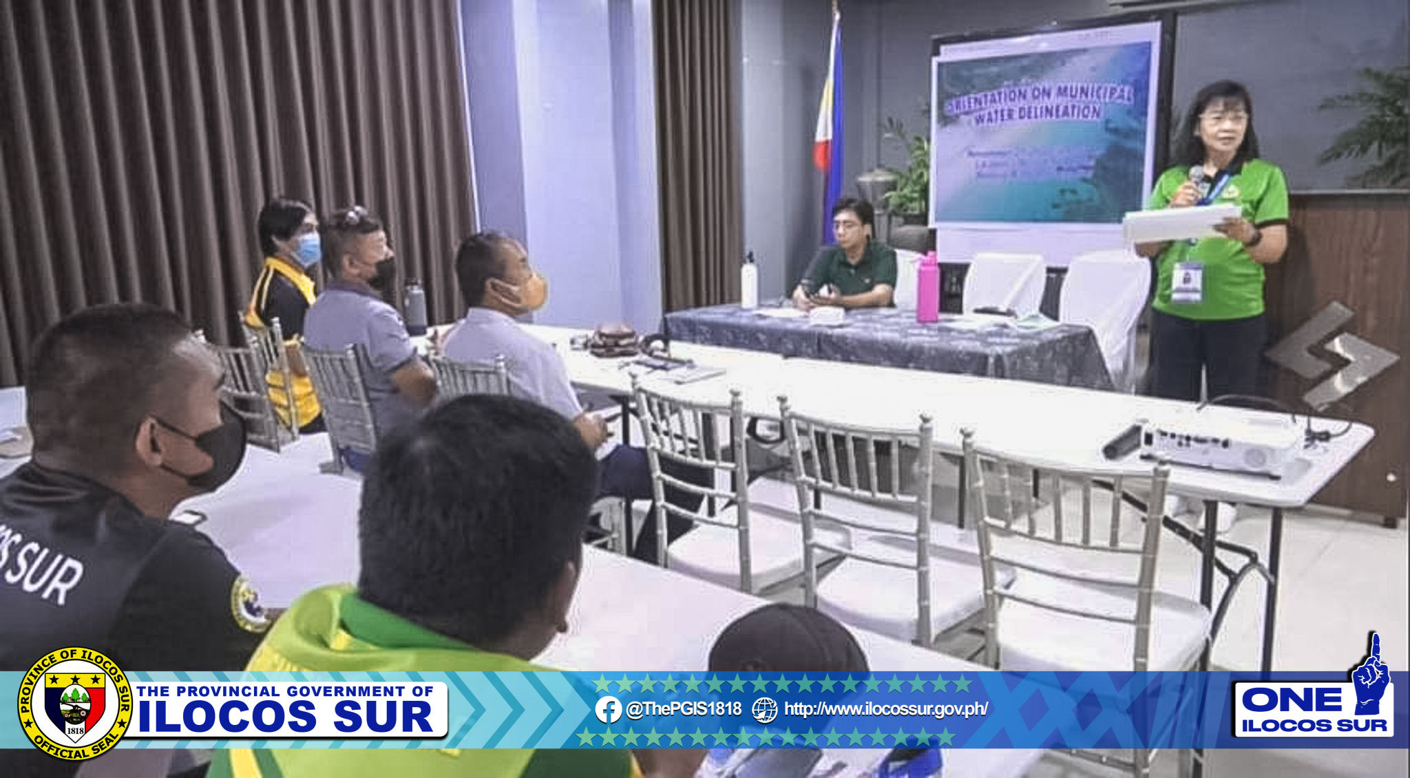
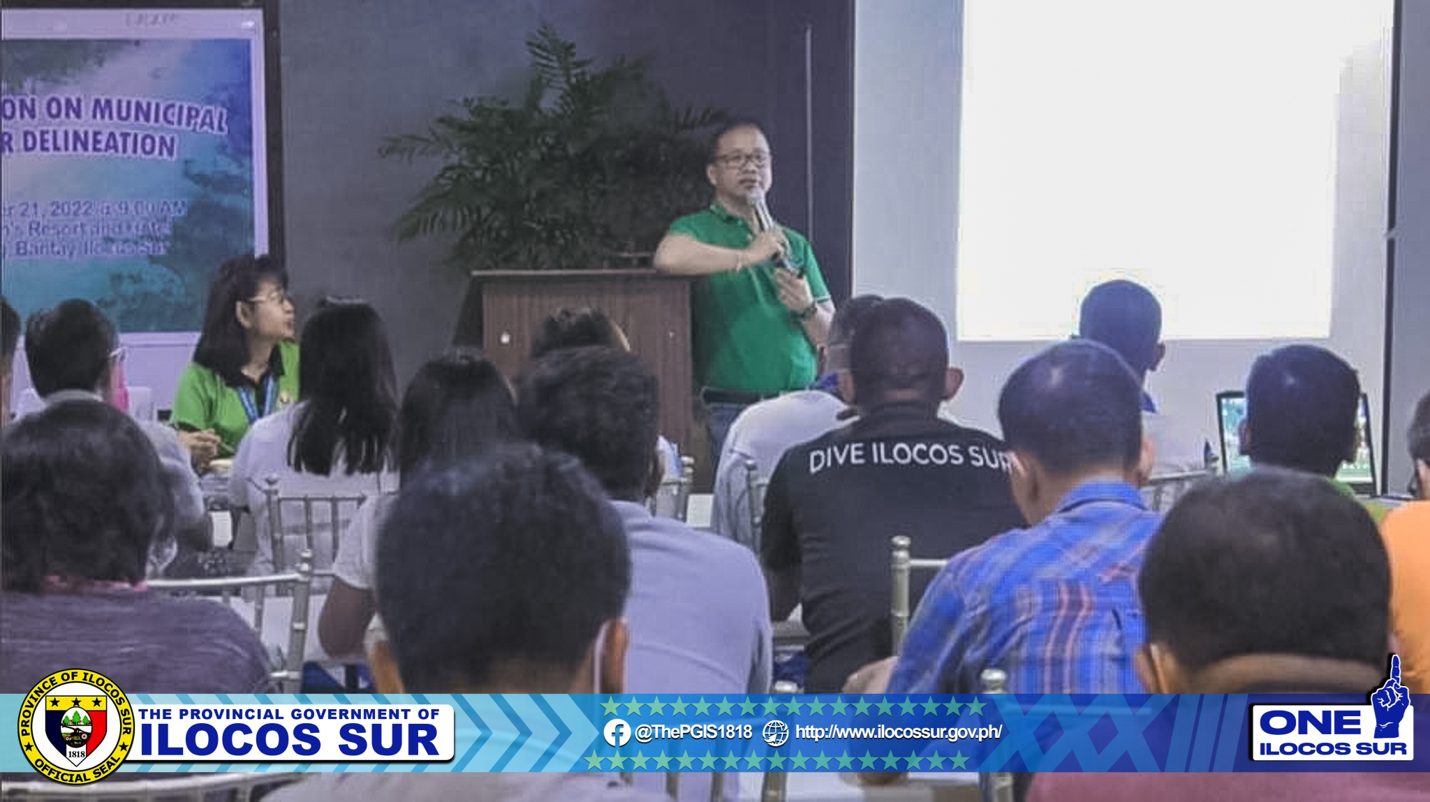
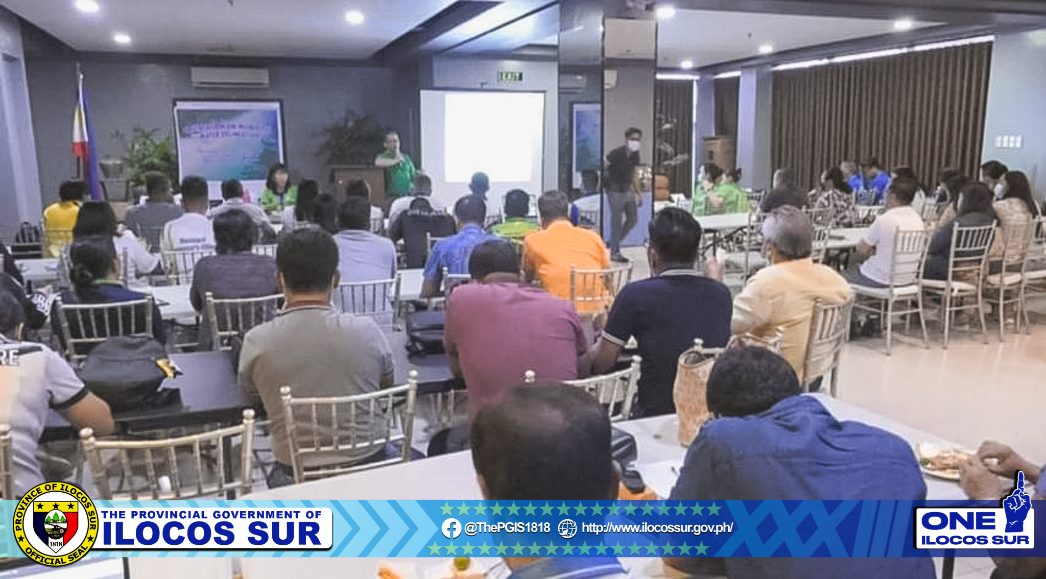
The Provincial Environment and Natural Resources Management Office and the National Mapping and Resource Information Authority (NAMRIA) conducted an orientation to validate the status of municipal water delineation/delimitation of the 18 coastal municipalities of the province.
The MAO, MENRMO, MPDO and the Municipal Assessors of each municipality who were the attendees deliberated on the proposed final boundaries.
Starting 22 November, validation of the areas will push through and representatives from NAMRIA will plot the proposed boundaries on nautical charts.
NAMRIA-Hydrography Branch will compile a special-purpose chart containing boundaries so as to improve the fishery sector of the province through the development of maps and charts that will be used by the government and the common fisher folks.